


Calibrate, georeference, merge, and mosaic scanned maps
Georeferencing
 Georeference/Calibrate map scans and aerial photographs accurately to correct positions, coordinates
and projections. VP solutions offers thousands of coordinate systems as provided by the EPSG database. Use program guided "rubber sheeting" functions along
single reference points or on grids. Restore exact positioning and scaling. Then
export images and placing information to GeoTIFF or in a TIF/TFW file set.
Georeference/Calibrate map scans and aerial photographs accurately to correct positions, coordinates
and projections. VP solutions offers thousands of coordinate systems as provided by the EPSG database. Use program guided "rubber sheeting" functions along
single reference points or on grids. Restore exact positioning and scaling. Then
export images and placing information to GeoTIFF or in a TIF/TFW file set.Merging
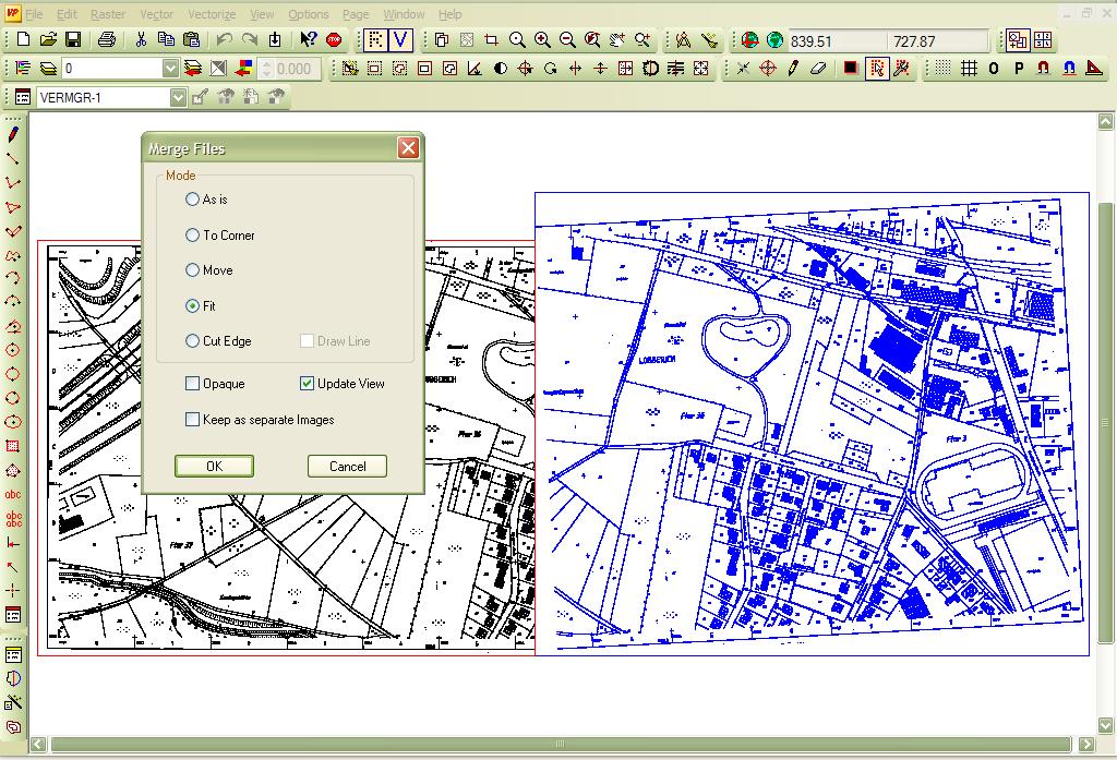 softelec software provides easy-to-use functions to merge two or more raster
maps (or drawings) with highest accuracy into one image file - even when they come
in different orientations or scales. Intuitive program guidance secures exact positioning
of merge points. A "Smart stitching" option allows for a suppression of
overlaps.
softelec software provides easy-to-use functions to merge two or more raster
maps (or drawings) with highest accuracy into one image file - even when they come
in different orientations or scales. Intuitive program guidance secures exact positioning
of merge points. A "Smart stitching" option allows for a suppression of
overlaps.Mosaicing
Large raster images can be split or "tiled" into an individual number of convenient small image files for a mosaic of your scnned drawings. Use these functions whenever you need to publish parts of map scans for a fast display on selected regions of interest. Original geo-positioning will be kept for all generated tiles. You may even use individual image size and overlap settings in automated scripts for splitting scans in batch mode.These features are available in solutions of the following product groups:
|
|
VPmap Series GIS, Mapping, FM |